The Digital Walters is a branch of The Walters Art Museum Manuscripts Department.

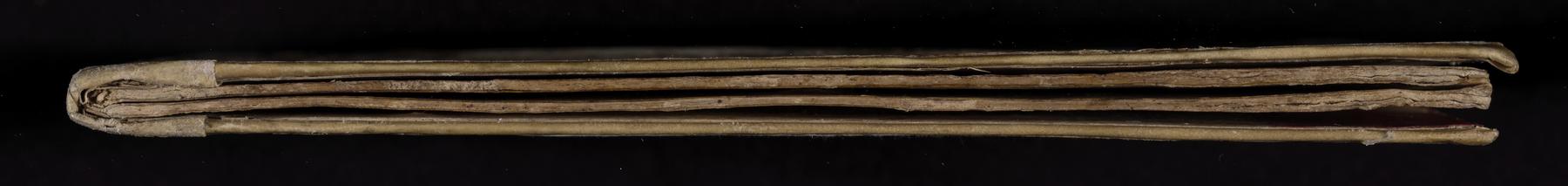
Three maritime charts bound in contemporary parchment over paper board. The first chart shows the 26th to the 51st northern gradations, the coasts of England and Ireland south to Madeira and the Canary Islands, including the coasts of Spain and France. The second chart shows the whole of the Mediterranean, including the coasts of the eastern Mediterranean and Northern Africa. The third chart shows the Mediterranean from the Meridian of Gallipoli (Italy) to Dakar, Africa, including part of the Atlantic Ocean and the coasts of Spain and Portugal. All have rhumb lines, and were used for navigation. Although written in Italy, the place names on the manuscript show Portuguese influence.
Support: Parchment; Extent: 295 x 406 mm bound to 297 x 209 mm
All three charts span two pages; dark ink framing around the edges with yellow fill; rhumb lines alternating red and green coming off illuminated compass points; landmasses outlined in dark ink with color overlay
Humanistic cursive
Illuminated compass roses on each chart; heraldic shield under a crown on Chart 1; blue medallion containing a crescent moon with a face in profile under a crown on Chart 2; land masses are outlined in green (Europe) brown (currently Turkey) and red (currently Syria, Lebanon, Israel, and Africa)
For a full list of Decorations in this manuscript please see the Content and Decorations section by clicking on the [i] button in the top left corner of the image viewer above.
Measurement for page dimension is for the full opening, as the charts are horizontally aligned and span the opening
These are pages that we pulled aside that disrupted the flow of the manuscript reader. These may be bindings, inserts, bookmarks, and various other oddities.

Italy
16th century
Contemporary parchment over paper boards
Latin
Italy
16th century
Latin
Three maritime charts bound in contemporary parchment over paper board. The first chart shows the 26th to the 51st northern gradations, the coasts of England and Ireland south to Madeira and the Canary Islands, including the coasts of Spain and France. The second chart shows the whole of the Mediterranean, including the coasts of the eastern Mediterranean and Northern Africa. The third chart shows the Mediterranean from the Meridian of Gallipoli (Italy) to Dakar, Africa, including part of the Atlantic Ocean and the coasts of Spain and Portugal. All have rhumb lines, and were used for navigation. Although written in Italy, the place names on the manuscript show Portuguese influence.
Measurement for page dimension is for the full opening, as the charts are horizontally aligned and span the opening
Humanistic cursive
Illuminated compass roses on each chart; heraldic shield under a crown on Chart 1; blue medallion containing a crescent moon with a face in profile under a crown on Chart 2; land masses are outlined in green (Europe) brown (currently Turkey) and red (currently Syria, Lebanon, Israel, and Africa)
For a full list of Decorations in this manuscript please see the Content and Decorations section by clicking on the [i] button in the top left corner of the image viewer above.
These are pages that we pulled aside that disrupted the flow of the manuscript reader. These may be bindings, inserts, bookmarks, and various other oddities.
Clear All